Maureillas-Las Illas is an extensive municipality of 4,210 hectares, located at the foot of the Pyrenees, a few kilometres from Perpignan and that goes from Vallespir to Albères. It borders with Spain and its altitude ranges between 78 meters (Tech) and 1,320 meters (Pic de Les Salines).
La Rome river crosses its territory from east to west, and Las Illas river from south to north. The two become one at the “pont rouge” to lead to the Tech at the height of Boulou.
Its population is progressively increasing in a controlled manner (2,591 inhabitants in the 2017 census) to soon reach 3,000 inhabitants.
Maureillas-Las Illas is part of the Communauté des Communes du Vallespir.
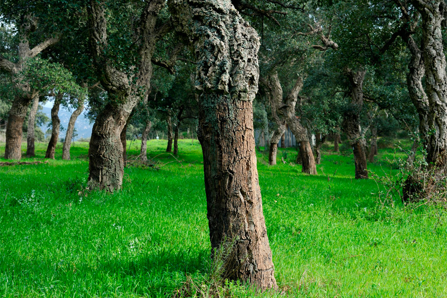
Maureillas-Las Illas. Photo: Lluís Català
WHAT TO SEE?
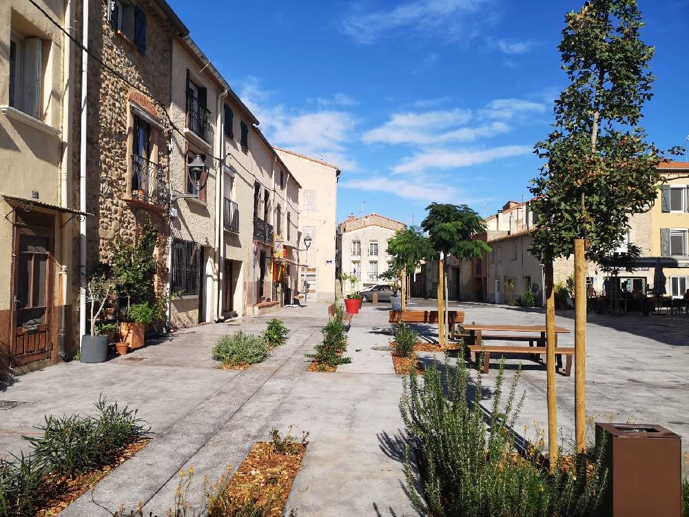
Maureillas-Las Illas, town square. Photo: Mairie de Maureillas-Las Illas
The Cork Museum. The municipality of Maureillas-Las Illas is located in the heart of the history of cork and through this picturesque museum you can discover the cork sector. You will find more information about the museum in the Museums and Interpretation Centres section. In addition, Maureillas-Las Illas is also home to numerous historical monuments that bear witness to the richness of its history:
The Saint Martin de Fenollar Chapel, a small church of pre-Romanesque architecture located near the old Via Domitia and dating from the 9th century. It is decorated with magnificent frescoes that present the story of the Incarnation. It is the most important painted decoration in Roussillon. This chapel has been listed as a historical monument since August 1st in 1967.
The Saint Michel de Riunoguès Chapel is an exceptionally well-preserved small pre-Romanesque church built between the 9th and 10th centuries. It houses notable works: a “banc de justice” and a curious sculpted altarpiece that represents Saint Michel slaying the devil. It is listed as a historical monument since February 14th in 1989.
The Chapel Notre Dame du Remède de Las Illas is a small church that has been restored and remodelled many times. It is venerated on August 15th, the day of the Las Illas festival.
The Saint Etienne de Maureillas Church is much more recent. Its current configuration dates from the 17th century. It preserves a virgin from the 13th century, a restored painting by Saint Michel from the 17th century and furniture from the 18th century.
WHAT TO DO?
The territory of Maureillas-Las Illas offers numerous possibilities for outdoor leisure and has routes known throughout Europe:
The Greenway Bicycle Route n ° 8 “axis pirinexus”, which connects Athens with Cádiz, crosses this territory for 12 kilometres and crosses the border at Col de Panissars to enter southern Catalonia.
The GR 10, a long-distance path that connects Hendaye and Banyuls /Mer, crossing all the Pyrenees, also passes through Maureillas-Las Illas for 18 kilometres.
The Camino de Santiago de Compostela runs through the municipality for more than 10 kilometres.
The Greenways: The municipality of Maureillas-Las Illas, the Communauté des Communes du Vallespir and the Departmental Council of the Eastern Pyrenees have committed to creating a network of greenways in the proximity axes to promote home-work travel. These cycling routes are great tools for the territory, allowing the value of heritage and landscapes and the development of tourism and local activities. In addition, it seeks to offer an alternative to travel by car.
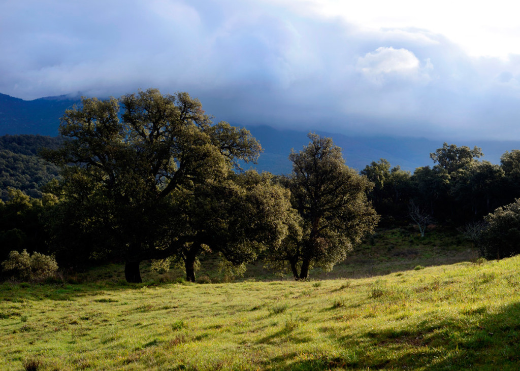
Maureillas-Las Illas. Photo: Lluís Català
Beyond these great axes that offer a natural attraction to this territory, there are numerous marked trails to discover another heritage:
- The Siureda Dolmen located in the cork oak forest 6 kilometres from Maureillas was discovered in 1986. 12 km / 4 hour walk from the Prat de la Farga recreational area.
- La Tour de Bel Œil, dominates Maureillas at an altitude of 308 meters. It is believed to be a signal tower dating from the Middle Ages. 8 km / 2.30 hour walk from the Prat de la Farga recreational area.
- Le Col de Porteille, a 10 km / 3.30 hour walk from the village of Riunoguès to the historic pass of the Spanish armies during the Battle of Boulou (1794).
- Following the footsteps of the Trabucayres, a 15 km / 5 hour / 780m D + hike from the village of Las Illas for experienced hikers. The exit is next to the Hostal Trabucayres.
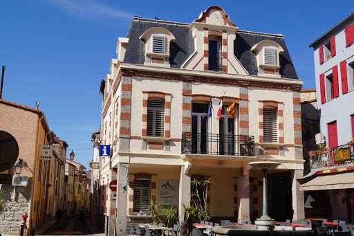
Maureillas-Las Illas, « La Maison Pour Tous » and « La Pila ». Photo: Mairie de Maureillas-Las Illas
TOURIST OFFER
-
How to get there?
- A 9, Le Boulou exit, 5 km from Maureillas-Las Illas: Le Boulou/Spain direction on D90, after Thermes du Boulou, turn right onto D618
- D900 by Le Boulou: Maureillas direction, after Thermes du Boulou, turn right onto D618
D900 by the border at Le Perthus: Perpignan direction, after Les Cluses, turn left onto D618 - Perpignan station, 25 km from Maureillas-Las Illas
Figueres station, 35 km from Maureillas-Las Illas - La Llabanère de Perpignan-Rivesaltes Airport, 35 km from Maureillas-Las Illas
Girona Costa Brava Airport, 75 km from Maureillas-Las Illas
GPS Coordinates
Latitude: 42°29’29’’ North
Longitude: 2°48’39’’ East
FURTHER INFORMATION
MAIRIE DE MAUREILLAS-LAS ILLAS
14 Avenue du Vallespir
66480 MAUREILLAS-LAS ILLAS
T. 04 68 87 52 52
Fax. 04 68 83 14 66
maureillaslasillas66@orange.fr
SCHEDULE
Monday to Thursday from 9am to 12pm and from 2pm to 6pm
Friday from 9am to 12pm and from 2pm to 5pm
MAISON POUR TOUS
Place de la République
66480 MAUREILLAS-LAS ILLAS
T. 04 68 21 61 27
maisonpourtous66@orange.fr
SCHEDULE
Monday to Friday from 9am to 12pm and from 2pm to 6pm
Sources: Mairie de Maureillas-Las Illas
 Español
 Català
 English
 Français
 Português
 Italiano
 Deutsch